Links to official Saudi websites end with gov.sa
All links to official websites of government agencies in the Kingdom of Saudi Arabia end with .gov.sa
Government websites use the HTTPS protocol for encryption and security.
Secure websites in the Kingdom of Saudi Arabia use the HTTPS protocol for encryption.
Registered with the Digital Government Authority under number :
20250519510
Non-Terrestrial Networks Program
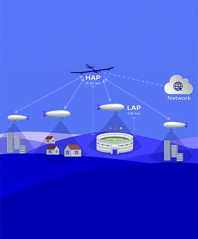
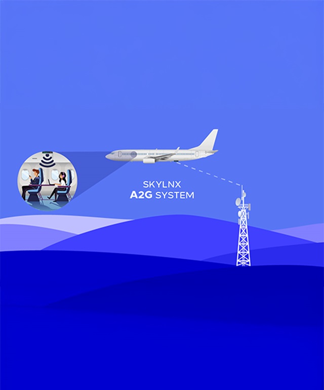
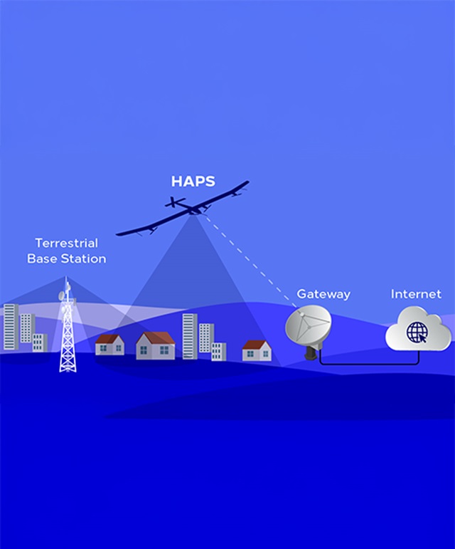
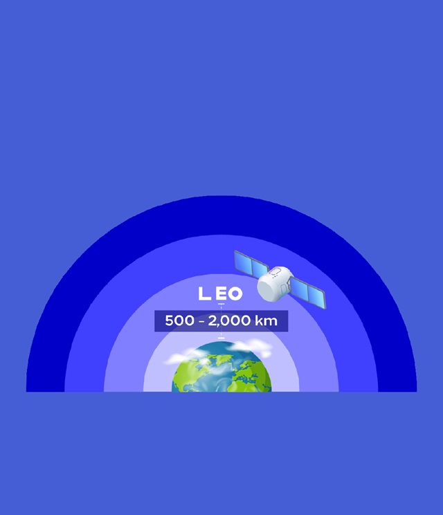
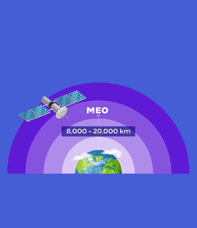
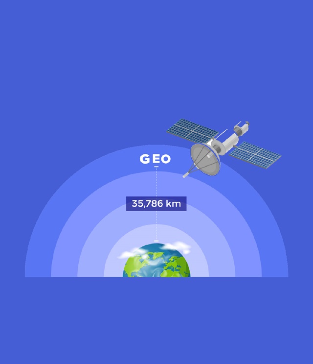
Next-generation wireless networks are envisioned to break the boundaries of the current terrestrial-based systems and fully adopt the Non-Terrestrial Networks (NTNs). NTN consists of variants of space-borne and aerial communication networks including GEO, MEO, LEO satellite constellations, High Altitude Platform Systems (HAPS), Low Altitude Platform Systems (LAPS), and air-to-ground (A2G) networks.
NTN elements and components are evolving to become an integral part of the future 6th Generation (6G) wireless network. NTN is growing in importance owing to its ability to offer “anything, anytime, anywhere” connectivity, thus connecting the unconnected. In this context, CST has launched the “NTN Program” to enable the NTN technologies and to facilitate the roadmap to the 6G communications.
ITU Forum
The “Connecting the world from skies” forum will extensively address air-borne and space-borne communication networks from technology, space, and science policy perspectives. It will be of interest to representatives from both the public and private sectors, and in particular radiocommunication and space industry innovators, researchers, ICT, and technology stakeholders, as well as spectrum policymakers from national regulators and other relevant international bodies. Keynote presentations, moderated panel discussions, and technology demonstrations will showcase the variety of technological solutions. In addition, tutorials about both technical aspects and non-technical impacts of these technologies will be run during the forum.
Connecting the World From the Skies 2022 Connecting the World From the Skies 2024Technologies & Types


